
Walk a Parkersburg Street
No single Parkersburg record is a complete roll of everyone on a street. The useful trail joins address-keyed sources, each with a narrow purpose. Wood County CAMA identifies the assessed owner and parcel. The Card File adds names, an owner flag, address, deed book and page, and a short description. County tax maps give geographic context. Deeds identify parties to transfers, while public voter files and historic directories may supply evidence of residence. Keep source dates beside every result because a current assessment and an older directory describe different moments.
- Standardize the street line and ZIP with USPS, preserving the suffix and unit information.
- Search the Wood County CAMA system by parcel address, then save the owner, parcel key, legal description, and deed reference.
- Browse the county tax map for adjoining parcel lines, rights-of-way, flood zones, precincts, and aerial context.
- Carry the deed book and page into Document Inquiry, then follow the parties and earlier transfers.
- For residence evidence, inspect permitted voter records or request a Parkersburg reverse directory for the right year.
This sequence turns a typed address into a record trail. It does not prove that every named owner lived there. When the question shifts from a whole street to one named person, use the Parkersburg resident lookup workflow to compare identity details.
Search Parkersburg Parcels by Address
The assessor portal offers more than a plain owner-name box. Its Parcel Address mode is the strongest opening for a Parkersburg by-address query. A district, map and parcel combination can restore a match when spelling varies. Legal Description and Deed Book/Page fields help when an old road name or number no longer matches the modern street line. Owner names must be entered last name first, with no comma. The county does not state a required field or definitive online start date.
| Search key | Input | Use in a street search |
|---|---|---|
| Parcel Address | Text | Matches the situs, or property, address |
| Map/Parcel | Four inputs | Uses the county parcel key |
| Legal Description | Text | Finds subdivision, lot, or boundary wording |
| Deed Book/Page | Two inputs | Bridges directly to the recorded deed |
| District | Select | Narrows the county tax district |
The CAMA result may include assessed values, land and structure figures, square footage, border measurements, prior sales, and a sketch. These fields describe the parcel record, not a verified household roster. The assessor also disclaims a warranty of accuracy, so the deed and clerk's record remain the better authority for a legal ownership question.
The official CAMA screen shows how Parkersburg parcel address and deed-reference searches begin.
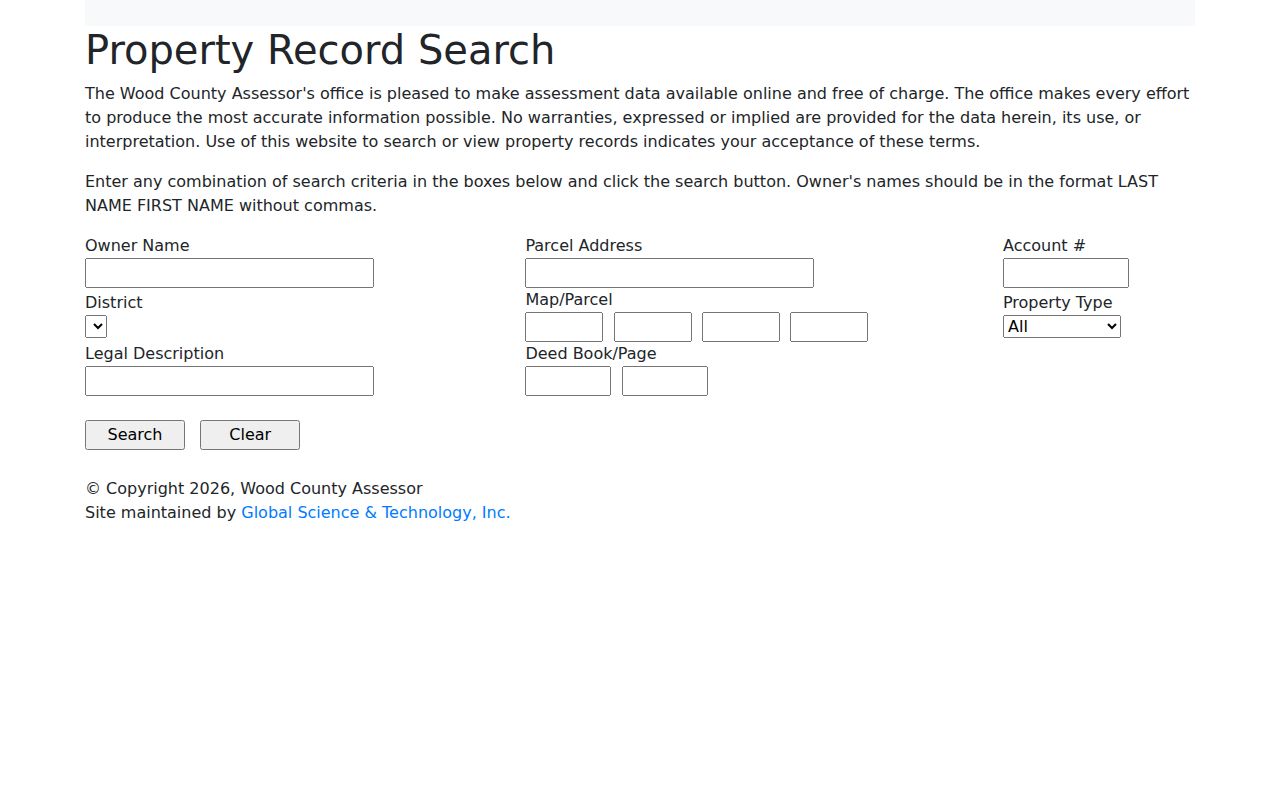
The captured portal reinforces why an exact situs address and saved parcel key are more useful than a loose street-name query.
Parkersburg Street Record Coverage
Each address-keyed source answers a different Parkersburg question. Use the assessed roll for the current parcel entry, the deed books for transfers, and the voter file only within its statutory access rules. Permits are split by jurisdiction. Parkersburg handles city construction, repair, demolition, occupancy change, and system work, while Wood County handles county construction, unsafe structures, land use, and floodplain matters. Neither office exposed a public permit-case search in the research.
| Record Set | Keeper | What It Shows | Access |
|---|---|---|---|
| CAMA assessment | Wood County Assessor | Owner, situs and mailing addresses, values, parcel, description | Free online; land books 1945-present |
| Card File | Wood County | Names, owner flag, address, book/page, description | Free online; one-day replication delay |
| Deeds and liens | Wood County Clerk | Transfers, parties, rights-of-way, plats, legal descriptions | Inquiry plus Room 103; books 1799-present |
| Voter file | Wood County Clerk | Public name, residence, party and status fields | Office inspection or lawful noncommercial list request |
| Permit and code files | City or county office | Address-linked work and case context when released | Direct request; no public search found |
A parcel key links the map and assessment. Book and page link that assessment to the clerk's permanent deed copy. The street address can then anchor a dated permit request or an archive query. This by-street chain works because the keys overlap, not because any office keeps a master household list.
The Wood County Online Services and Research page gathers the official inquiry routes used in that chain.
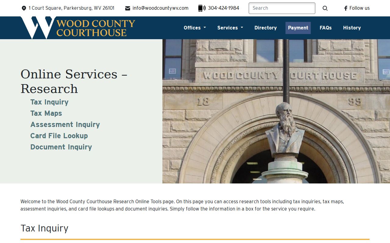
The county landing page is the reliable starting point when a saved deep link changes or one inquiry system is unavailable.
Note: Wood County's online cutoff is not published, so an empty portal result should be checked against the clerk's record room.
Read Parkersburg Card File Results
The Wood County Card File is a second by-address route. Choose Address mode, then read the returned District, Map, Parcel, Name One, Name Two, Owner, Address, Book-Page, and Description columns. That compact result can supply the exact parcel key needed for CAMA and the deed reference needed for Document Inquiry. The county warns that replicated data has a one-day delay, so a very recent change may not appear at once.
The county inquiry help page explains the companion document controls: enter a party name, narrow by date, document type, or index type, use View for an available scan, and select the People icon to reveal associated parties.
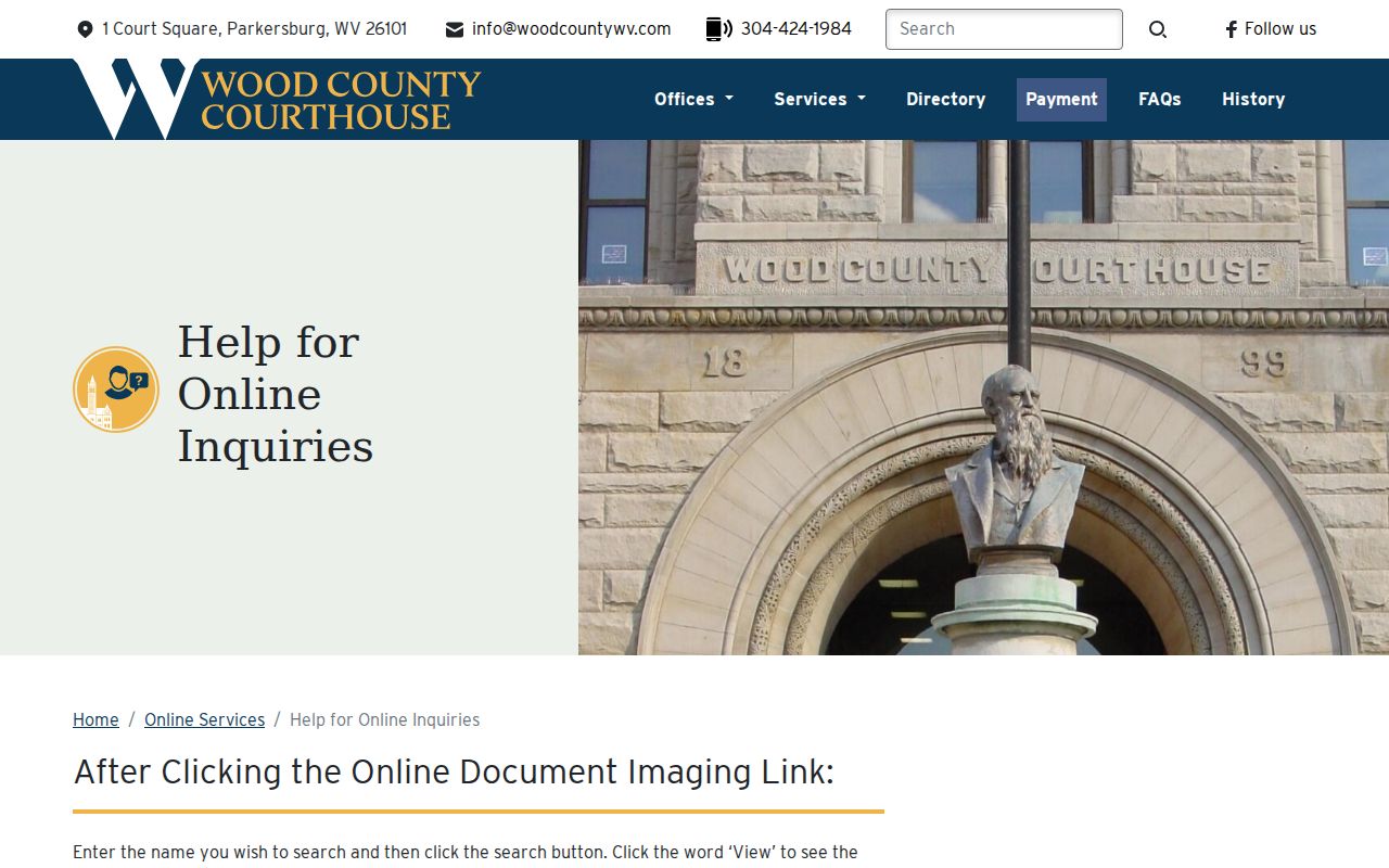
The help screen makes the division clear: an address finds the parcel card, then names and deed references open the recorded-document trail.
Parkersburg Address Keys Explained
Several labels that look alike have different meanings in Parkersburg street records. Saving each one prevents a mailing location from being mistaken for the property itself.
- Parcel
- A mapped assessment unit identified by district, map, and parcel fields.
- Situs address
- The physical location of the land or building, used by CAMA, GIS, permit, and E911 records.
- Plat
- A recorded drawing that identifies lots, blocks, roads, and other subdivision details.
- Criss-cross directory
- A directory arranged by street or house number rather than only by a person's name.
A tax mailing address is where correspondence goes. It may be outside Parkersburg or use a post-office box. A legal description identifies land through lot, block, subdivision, or metes-and-bounds wording. Neither a mailing address nor the owner name alone proves who currently occupies the property.
Private Drives Change Parkersburg Addresses
Wood County E911 provides a local reason to preserve more than the typed street number. For a new structure or mobile home, the county requires the building permit, an established driveway when the structure sits more than 50 feet from the road, and all four corners staked. The addressing coordinator then uses GPS and usually assigns the address in three to four working days.
Permit evidence follows the city line, not just the postal label. Parkersburg Building and Code Enforcement handles city building, zoning, nuisance, health, and safety matters, but its official pages expose no public historical address index. Contact the city at 304-424-8477 with the property address, parcel, or permit number. For land outside municipal jurisdiction, Wood County Building Permits handles construction, land use, floodplain, and compliance questions. The county page likewise provides no public address search. This counter, phone, or focused WV FOIA route matters when a permit connects an owner, contractor, or responsible party with one site.
If several structures use one private drive, the users may have to agree on a drive name and sign a form. The structures are then numbered by distance with even and odd sides, and an existing structure can be readdressed. A Parkersburg by-address miss may therefore reflect an address change, not an absent record. Keep map/parcel, deed book/page, and legal description as continuity keys.
The Wood County E911 page documents this address-assignment process.
The E911 source confirms that emergency numbering, postal delivery, and parcel identity are related but separate address layers.
Parkersburg Voter Records by Street
West Virginia's online voter lookup is a one-person check. It requires first name, last name, and date of birth, and does not expose a street-wide mode. For a Parkersburg street search, the lawful alternative is inspection at the county office or a permitted noncommercial list request. West Virginia Code section 3-2-30 makes active, inactive, rejected, and canceled files inspectable during office hours and calls for printed or read-only terminal access.
Public list elements include name, residence address, party affiliation, and status. Social Security numbers, telephone numbers, email addresses, driver-license numbers, and state-identification numbers are withheld. Address Confidentiality Program protections can also substitute or shield an address. Printed noncommercial lists cost one cent per name and may not be resold for profit or used for harassment or intimidation. Contact the Wood County Clerk elections office in Room 403 at the courthouse when a street-based request is justified.
Map Older Parkersburg Street Records
Historic address work needs a time-specific map. The Library of Congress holds Parkersburg Sanborn fire-insurance maps from June 1893 in 14 sheets and February 1916 in 40 sheets, including North Parkersburg. These sheets can test a building footprint, use, or period street label. They are not modern parcel surveys. Compare a Sanborn feature with the deed's legal description, then use present GIS and CAMA only after the old and new locations align.
No official Parkersburg street-renumbering or annexation timeline was located. Do not insert a guessed year into the chain. Historic maps from 1873, an 1886 Wood County atlas, and a 1901 Parkersburg atlas provide additional checkpoints. Reverse or criss-cross directories can then identify a dated occupant by street and number. Ask WVU or Parkwood Library for the exact city, year, and directory type; the historical collection itself is detailed on the Parkersburg city directory page.
Limits of Parkersburg Street Records
A Parkersburg street search cannot produce a complete, current household list. Assessor data identifies the assessed owner, who may live elsewhere. Voter files cover registered voters, not all residents, and protected records are withheld. No public historic utility-customer list was found. Driver address information is restricted by federal law. Delivery records and private household details do not become public merely because a parcel can be found on a map.
Commercial compilations can be stale, combine people with similar names, or carry an old address forward. Treat them as leads at most. Confirm an ownership fact with the assessor and deed, an election fact with the clerk, and a historical occupant with a dated directory or census record. Even official indexes can lag or omit a restricted image.
Lawful use. Parkersburg address records are for lawful personal, historical, and civic research. Never use a street search to stalk, harass, intimidate, or harm anyone.