
Parkersburg ZIP Directory Coverage
Six codes appear in official postal material associated with Parkersburg. They do not describe six fixed city neighborhoods. USPS codes route mail, while Parkersburg city limits, Wood County parcel lines, and E911 addresses answer different questions. Begin with the postal code, but keep the complete address and parcel key when changing systems.
| ZIP | Parkersburg-area coverage | Postal label | Search caution |
|---|---|---|---|
| 26101 | Standard Parkersburg delivery area | Parkersburg; nearby data may also show Vienna | Confirm the exact address with USPS |
| 26102 | Parkersburg postal service | Parkersburg PO Box or standard designation | A box does not identify a property |
| 26103 | Parkersburg and nearby service area | Parkersburg or Fort Neal references | Confirm city jurisdiction by address |
| 26104 | North Parkersburg area | North Parkersburg, N Parkersburg, North Hills | A postal place name is not a city boundary |
| 26105 | Vienna and Parkersburg service area | Vienna or Parkersburg | City and postal labels often diverge |
| 26106 | Special institutional delivery | Parkersburg unique ZIP | Not an ordinary household area |
No single USPS page found in the research publishes current neighborhood polygons or population counts for all six. The table therefore records postal labels and cautions, not invented boundary lines. Use the USPS ZIP Code Lookup for a specific address and the county map for parcel context.
Parkersburg ZIP 26105 Boundary Quirk
ZIP 26105 is the clearest local geography warning. Official postal references associate it with the Vienna and Parkersburg service area. A result labeled Vienna may still concern a Parkersburg-area address, and a Parkersburg postal label does not alone prove that the parcel sits inside the city.
Check the full street line with USPS. Then locate the parcel through Wood County GIS or the assessor. If the question involves a city permit or municipal citation, confirm city jurisdiction with Parkersburg before contacting that office. If it involves a deed, assessment, tax, E911 address, or county court file, the Wood County custodian remains the relevant route.
Note: Published neighborhood polygons and exact ZIP-to-city population figures were not located in the official sources reviewed.
Find Parkersburg Residents Within a ZIP
A ZIP code can narrow a broad area, but the official local tools generally do not return a ZIP-wide resident list. Wood County CAMA accepts owner, parcel address, account, district, map and parcel, property type, legal description, and deed book/page. Its public form exposes no ZIP field. The card file has an address mode, also without a documented ZIP filter. The state voter lookup searches one person by first name, last name, and date of birth.
- Validate the full delivery address through USPS, including apartment or suite details and ZIP+4 when returned.
- Enter the street line in the Wood County Assessor Property Record Search. Do not enter only the ZIP.
- Save the parcel address, district-map-parcel key, and legal description so the parcel can be found even when postal wording differs.
- Browse the official county map for nearby parcels and layers. Treat map lines as best-fit reference lines, not a survey.
- For voter information, use the one-person state lookup or ask the Wood County Clerk about a lawful precinct list. The portal has no ZIP mode.
Once a ZIP has been narrowed to a street, use the Parkersburg street directory workflow for address-level parcel and deed work. A ZIP-wide search should not be presented as more precise than the source permits.
Parkersburg ZIP Search Fields Compared
The Parkersburg ZIP code directory is most useful when it shows which system accepts which key. Only USPS clearly exposes ZIP modes. County systems use address, parcel, name, or map geography. This prevents a common dead end: typing a postal code into a portal that never claimed to support it.
| Official system | ZIP input | Search keys that work | What the result can establish |
|---|---|---|---|
| USPS lookup | Yes | Street, unit, city, state, ZIP; city/state; ZIP-to-city | Standard postal delivery details |
| Wood County CAMA | No exposed field | Owner, parcel address, account, district, map/parcel, legal description, deed book/page | Assessment and parcel details |
| Wood County card file | No documented field | Name, map/parcel, book/page, address | Card-index links with one-day replication delay |
| Tax inquiry | No exposed field | Name, tax year, real or personal property, district-map-parcel | Tax record and payment detail |
| State voter lookup | No | First name, last name, date of birth | One-person status, districts, and polling place on a match |
The Wood County online research menu links the assessment, card, tax, document, and map tools. In-person inspection is still available where the online field set cannot answer the question. Voter files may be inspected during office hours, subject to protected fields and address-confidentiality rules.
Verify Parkersburg ZIP Codes With USPS
The USPS lookup offers three distinct tasks. Address lookup takes an optional company, required street, unit detail, city, state, and ZIP. City-and-state search returns associated codes, while ZIP-to-city search checks the postal city attached to a code. None identifies a resident or proves ownership.
The USPS Postmaster Finder by ZIP can add establishment and discontinuance context for historic postal research. It is better suited to post-office history than parcel boundaries. For a present address, use the live ZIP lookup, then move to Wood County records.
The captured USPS post-office history tool appears below.
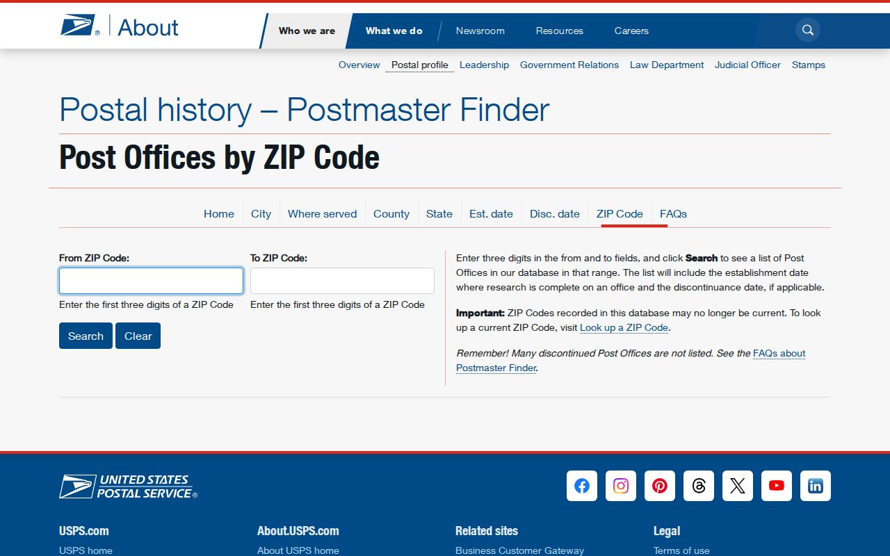
This source adds postal history; it should not be read as a current list of people or parcels.
Parkersburg E911 Builds the Address
Wood County E911 assigns an address before USPS validates its delivery form. For a new structure or mobile home, the county calls for a building permit, an established driveway when the structure is more than 50 feet from the road, and stakes at all four corners. The coordinator uses GPS and states that the process usually takes three to four working days.
A shared private drive creates a distinctive Parkersburg-area issue. Users may need to agree on a drive name and sign a form. Structures are then numbered by distance, with even and odd sides, and an existing building can be readdressed. Save the old street wording, parcel key, and legal description when researching an earlier resident because the delivery line may not remain stable.
Contact the Addressing/Mapping Coordinator at 304-420-0911 or dejones@woodcountywv.com. The E911 mailing address is 980 Altman Avenue, Parkersburg, WV 26104, and the non-emergency center number is 304-485-8501.
The Wood County E911 addressing instructions are shown in the captured page.
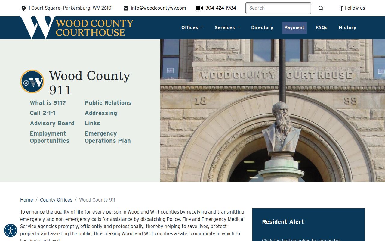
The county rules explain why a postal address may change while the parcel itself remains identifiable.
Separate Parkersburg Address Layers
A single Parkersburg location can carry several official labels. E911 supplies the emergency address. USPS standardizes delivery and assigns the ZIP. GIS displays parcel geography. CAMA ties assessment facts to the parcel. A deed states the legal conveyance, and a permit or code record documents regulated work. These layers should be compared, not merged.
- Postal address: the form used for mail delivery.
- Situs address: the physical parcel address shown by the assessor.
- Mailing address: where tax correspondence goes; it does not prove residence at the parcel.
- Legal description: the subdivision, lot, block, or metes-and-bounds wording used in land records.
- Parcel key: Wood County's district, map, and parcel identifiers, with leading zeros and hyphens preserved.
School-zone finders, public-utility district lookups, and verified ZIP population totals were not found in the inspected official Parkersburg sources. Do not fill those gaps with an unofficial map when a jurisdictional decision depends on the result.
Parkersburg ZIP Codes Versus Limits
A Parkersburg ZIP code directory answers postal questions at a broad scale. It cannot certify the city line. Code 26102 may be dominated by box delivery, and 26106 is a unique or institutional code associated in official material with the Bureau of Public Debt. Neither should be treated as a normal neighborhood roster. Codes 26103, 26104, and 26105 also carry nearby or alternate place labels that require a full-address check.
Use a map for orientation, then use the custodian that controls the underlying fact. Contact Parkersburg for city permit or code jurisdiction. Contact the Wood County assessor for current parcel data, the clerk for deeds, E911 for assigned addresses, and USPS for delivery coding. Historical city directories and Sanborn maps can add older address context without replacing present boundaries.
- ZIP
- A five-digit USPS delivery code. It is not a municipal boundary.
- ZIP+4
- A more specific delivery segment added to the five-digit code for routing.
- PO-box ZIP
- A code used heavily or solely for post office box delivery rather than street parcels.
- Unique ZIP
- A code assigned for a special institution or high-volume recipient, not a residential district.
- Carrier route
- A mail-delivery path within a postal area; it does not prove who occupies an address.
When the official tools still leave a mismatch, save screenshots or notes from each system and ask the custodian to confirm its own record. That is more reliable than forcing every Parkersburg address into one boundary model.