
Parkersburg Neighbors by Source
No official database is a roster of every person on a Parkersburg block. Instead, each record adds one measured fact. The Wood County map sets the parcel pattern. CAMA ties an assessed owner to one parcel. Deeds explain shared plats or rights-of-way. Public voter information and permit files have narrower rules. Historical collections show who appeared nearby in an earlier period.
| Source | What It Shows About a Block | Access |
|---|---|---|
| GIS tax map | Parcel shape, lot dimensions, rights-of-way, flood, precinct, aerial layers | Free map; browse and select |
| CAMA and card file | Owner, mailing and situs addresses, book/page, description | Free, one parcel at a time |
| Document inquiry | Shared parties, easements, prior ownership, recorded dates | Free search and available images |
| Voter file | Public residence, status, precinct, and district elements | Inspection or list request under state law |
| City or county permits | Address work, permit, code context, possible responsible parties | Request; no public address index found |
| Directories and Sanborn maps | Past occupants, street context, building footprints | Library, archive, and LOC scans |
| Phelps-Tavenner Center | Maps, family files, cemetery records, and yearbooks | Visit or appointment |
The key distinction is owner versus occupant. A parcel result can name an owner who receives mail elsewhere. A renter, family member, or recent arrival may not appear. Treat the result as a property fact, not a claim about the full household.
Map Parkersburg Adjacent Parcels
The county links its tax maps and address map from the Wood County online research page. Find the starting address, zoom until parcel boundaries and labels are clear, then inspect only the lots that touch or face it. The researched map exposes parcel lines, dimensions, rights-of-way, flood zones, precincts, and aerial views. No verified buffer or radius tool was found, so manual adjacent-parcel work is the reliable method.
- Locate the exact street address and confirm it against nearby roads or landmarks.
- Write down each adjoining district, map, and parcel label from the tax map.
- Carry each key into CAMA or the card file and record owner, situs, mailing address, legal description, and deed reference.
- Compare the parcel set for a shared subdivision plat, easement, or right-of-way.
- Stop at the immediate block. Use the Parkersburg street directory for a full named-street chain.
The county's research menu gives the proper launch points for maps, assessment records, card files, documents, and taxes.
Review the Wood County research menu before moving among those systems.
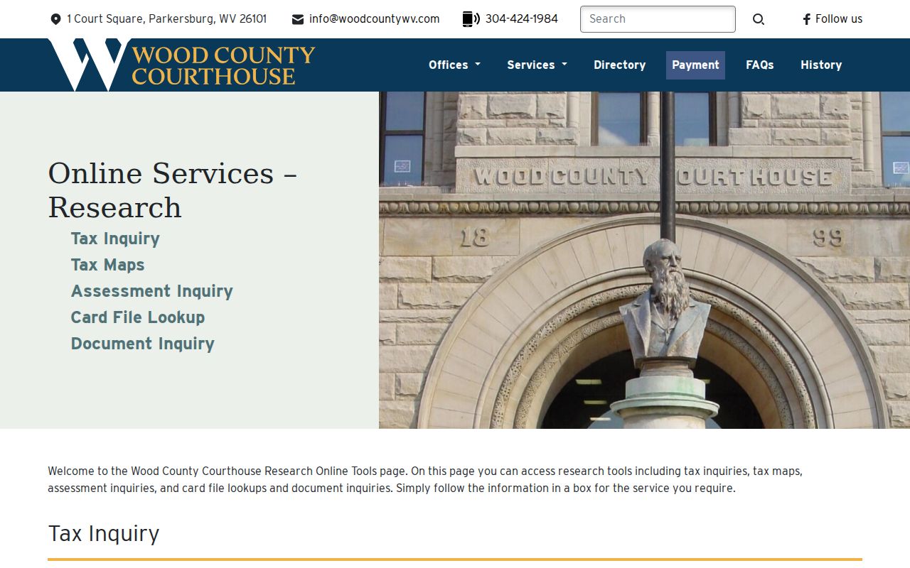
The menu helps keep map evidence and assessment evidence tied to the same official county source.
Confirm Parkersburg Neighbor Parcels
Enter each map and parcel value in the Wood County Assessor CAMA search. It also accepts owner, parcel address, account, district, property type, legal description, and deed book/page. The separate card-file inquiry accepts Name One, Name Two, Map-Parcel, Book-Page, and Address. Its result columns include district, map, parcel, owner, address, book-page, and description.
The parcel's situs address marks the land. The owner's mailing address is where assessment mail goes. Matching values can suggest owner occupancy, but they do not prove it. Different values may point to an absentee owner, a business mailing point, or a routine mail preference. Do not guess which explanation applies.
- Parcel
- A mapped unit of land identified by county district, map, and parcel values.
- Situs address
- The physical address assigned to the parcel, distinct from an owner's mailing address.
- Plat
- A recorded drawing that lays out lots, boundaries, streets, or easements.
- Right-of-way
- A recorded or mapped corridor for travel, utilities, or another stated use.
Open the Wood County card-file inquiry to see its parcel and address fields.
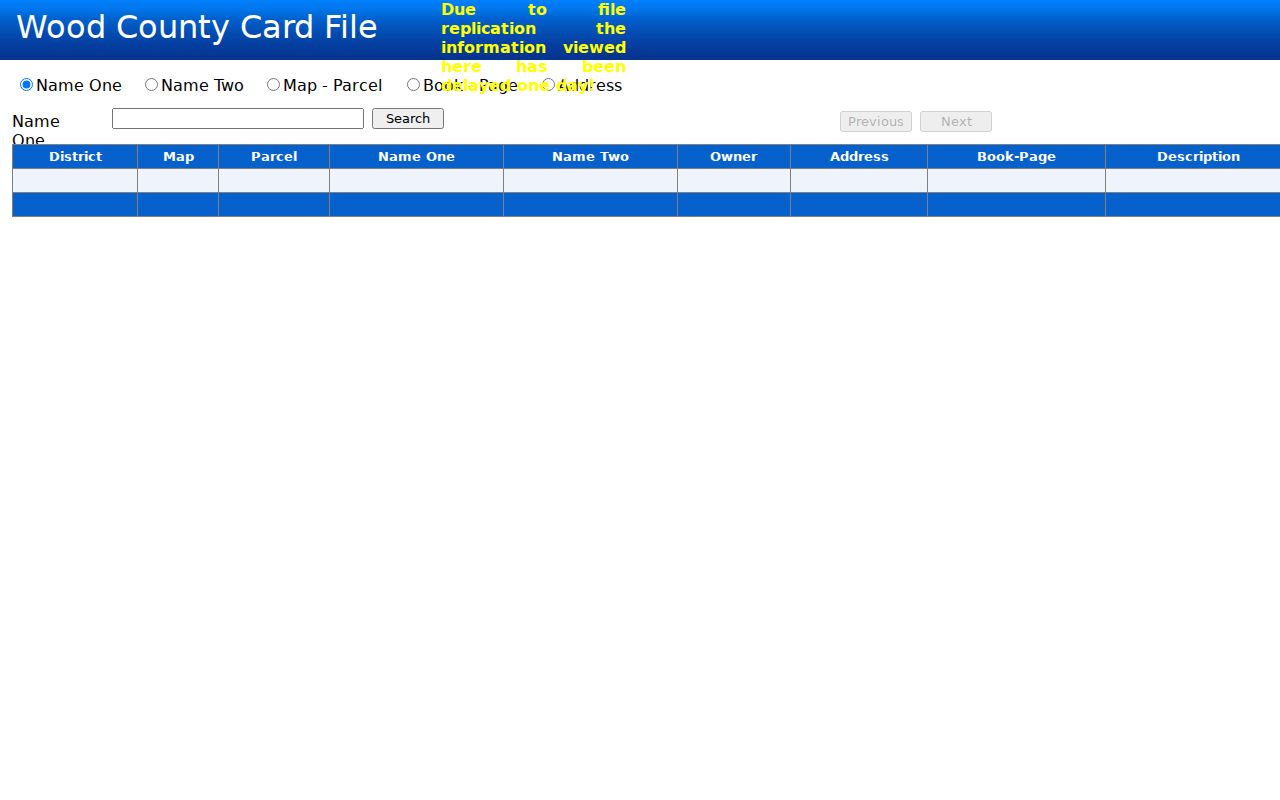
The card search connects the map key with name, address, deed, and description fields without turning it into a household roster.
Note: Repeat one parcel query at a time, and keep the source date because ownership and assessment data can change.
Read Parkersburg Block Connections
Adjacent parcels often share a recorded origin. A subdivision plat may have created the lots at once. A common grantor may have sold them over time. Easements may explain a shared drive, alley, utility strip, or access lane. Use the parcel's deed book/page as the bridge into Wood County Document Inquiry, then compare party names, recording dates, document types, and legal descriptions.
The county help page explains the result controls. “View” opens a scan when one is available. The People icon reveals all parties connected to the indexed document, which may be more useful than the first displayed name. Older books can require the courthouse Record Room because the county does not state one complete web cutoff.
Read Wood County's inquiry instructions before opening result images or party lists.
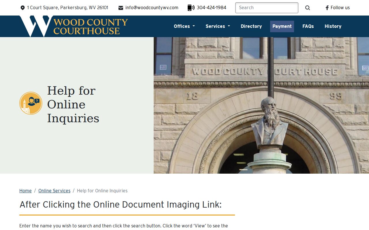
The instructions show how a parcel clue can become a documented block connection without guessing about current occupants.
Parkersburg Neighbor Voter Limits
West Virginia Code section 3-2-30 allows inspection and list access for specified public voter fields, including name, residence, status, precinct, and district elements. It excludes Social Security numbers, phone numbers, email addresses, driver's-license numbers, and state identification numbers. The statute also restricts commercial use and misuse of lists.
The Secretary of State voter lookup is not a public block browser. It checks one person's registration and polling information with required first name, last name, and date of birth. No official online Parkersburg street-wide voter search was found. A permitted list or inspection request must go through the election custodian, and an absent name should not be read as proof that no one lives at an address.
Protected voters do not lose protection because a nearby parcel is public. The state's Address Confidentiality Program can provide qualifying survivors with a substitute address and mail forwarding.
Parkersburg Community Directory Gaps
No verified public neighborhood-association membership directory was located on the inspected Parkersburg or Wood County pages. No open congregation, block-watch, civic-club, veteran, or alumni roster was found either. That absence matters. A neighbor lookup should not imply membership based on a matching name, parcel, church, or nearby address.
Phelps-Tavenner Research Center
Local maps, pictures, scrapbooks, files, cemetery records, yearbooks, and family-history material on more than 450 families. Use its published hours or appointment contacts.
Parkwood Library Genealogy
Remote family and newspaper research, with a $2 minimum, 10 cents per page, and five-request limit. Newspaper requests need a month and year.
For a current group, contact the organization and ask whether it maintains a member-authorized directory. For historical Parkersburg neighbors, library and historical-society holdings are the sounder route. Their files preserve community links without pretending there is a live public roster.
Historic Parkersburg Neighbor Footprints
The Library of Congress holds 14 Parkersburg Sanborn fire-insurance sheets from 1893 and 40 sheets from the 1916 Parkersburg and North Parkersburg set. The maps add building footprints, street context, and land-use clues. Pair a sheet with a period directory, deed description, and modern parcel map because an old footprint does not name every person who lived there.
This geographic layer can explain why two present parcels once shared a larger tract, why a street line changed, or why an address is hard to reconcile. The county's E911 office adds a modern quirk: private drives serving three or more structures must be named, and address numbers use even and odd sides with a distance-based system. Old and new labels therefore need not align.
Browse the 1916 Parkersburg Sanborn set to compare a historic block with later parcel evidence. No successful screenshot was captured for this source, so the map remains linked rather than illustrated.
Request Parkersburg Address Context
Parkersburg Building and Code Enforcement keeps zoning, nuisance, health and safety, and civil-citation material. The city permit process can include applicant, property, owner, contractor, current use, proposed use, map-parcel, and zoning fields. Wood County's permit office also handles county permitting, dilapidated buildings, land use, floodplain, and compliance functions.
No official public address-search portal was found for these records. Start with the relevant city or county office, give the exact address and a bounded date range, and ask for an existing permit or code record. Under West Virginia FOIA, a custodian may redact protected details or cite an exemption. A permit identifies a project and responsible parties in that file; it does not establish a list of all neighbors.
Choose Parkersburg Neighbor Evidence
Official rolls and commercial neighbor tools have different strengths. County records identify their custodian, parcel key, legal description, or file reference. Commercial services compile public filings, marketing data, and purchased datasets. They may retain old addresses, merge same-name people, or offer unclear update dates. Use the category only as a lead, never as the final source.
| Measure | Official Parkersburg Records | Commercial Compilations |
|---|---|---|
| Source identity | Named county, city, state, library, or archive custodian | Often blends several data sources |
| Best use | Parcel, deed, permit, voter, or historical fact | Possible lead requiring confirmation |
| Correction | Contact the office responsible for the source record | Use the provider's correction or opt-out route |
| Block accuracy | Current only to each roll's update cycle | May be stale or conflate names |
A disciplined Parkersburg neighbors search cites the official record behind each statement and leaves unknown household details unknown.
Protect Parkersburg Neighbors' Privacy
Parcel ownership, recorded deeds, and some voter fields may be public, but utility accounts, delivery data, private contact details, and unlisted household members are not part of this workflow. West Virginia FOIA permits withholding when release would be an unreasonable invasion of privacy without a clear public interest. Other laws close vital, DMV, juvenile, sealed, and protected-address information.
Use block records for property history, civic curiosity, reconnecting, or personal safety awareness. Do not publish a block-wide contact list. If a resident has a safety concern, the West Virginia Address Confidentiality Program explains substitute-address and forwarding protection for qualifying victims.
Lawful use. Respect your Parkersburg neighbors. Never use public information to watch, intimidate, stalk, harass, threaten, or harm a person.